Marinduque Connect
Optimizing Experience
Monday, June 15, 2026
The Philippine Space Agency partnered with Marinduque's PDRRMO to train local personnel in advanced GIS mapping and remote sensing for better disaster preparedness.
The Provincial Disaster Risk Reduction and Management Office (PDRRMO) of Marinduque took a major step forward in climate resilience. In partnership with the Philippine Space Agency (PhilSA) and DOST MIMAROPA, the province hosted a critical three-day training. The event ran from June 2 to 4, 2026, at the Governor's Hall in Boac. Provincial government personnel gathered to master modern spatial data analysis.
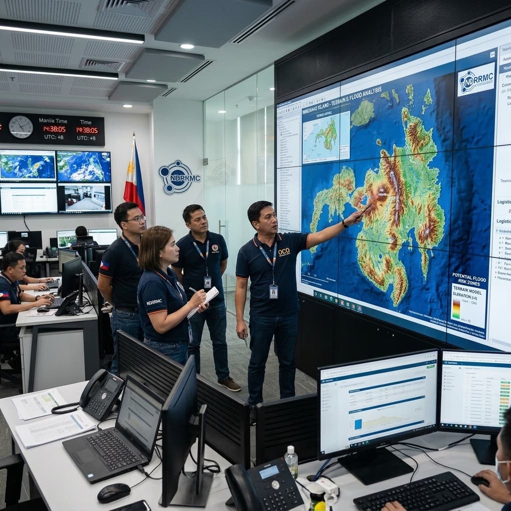
Participants focused heavily on Geographic Information System (GIS) Mapping. Instructors guided attendees through practical applications of QGIS software and remote sensing tools. These advanced technological skills empower local offices to create highly accurate hazard maps. Better mapping directly translates to faster, more effective responses during natural disasters like typhoons and earthquakes.
Provincial DRRM Officer Juan Fernandez Jr. highlighted the necessity of science-based planning. The collaboration with PhilSA ensures that Marinduque leverages satellite data for critical decision-making. This training is part of an ongoing initiative to integrate modern technology into the province's safety protocols. Officials aim to build a more resilient community capable of anticipating and mitigating environmental risks.